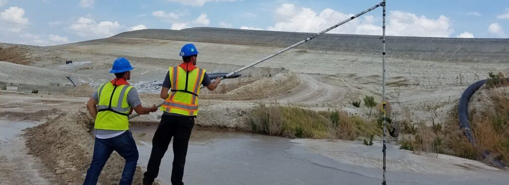


We are able to map virtually any format of digital imagery or LiDAR data using leading edge aerial mapping technologies. In fact, we were one of the first surveying firms to integrate a complete flight operation into its business.
Meet Our Geospatial Analysts
At Pickett, you’re not just recognized,
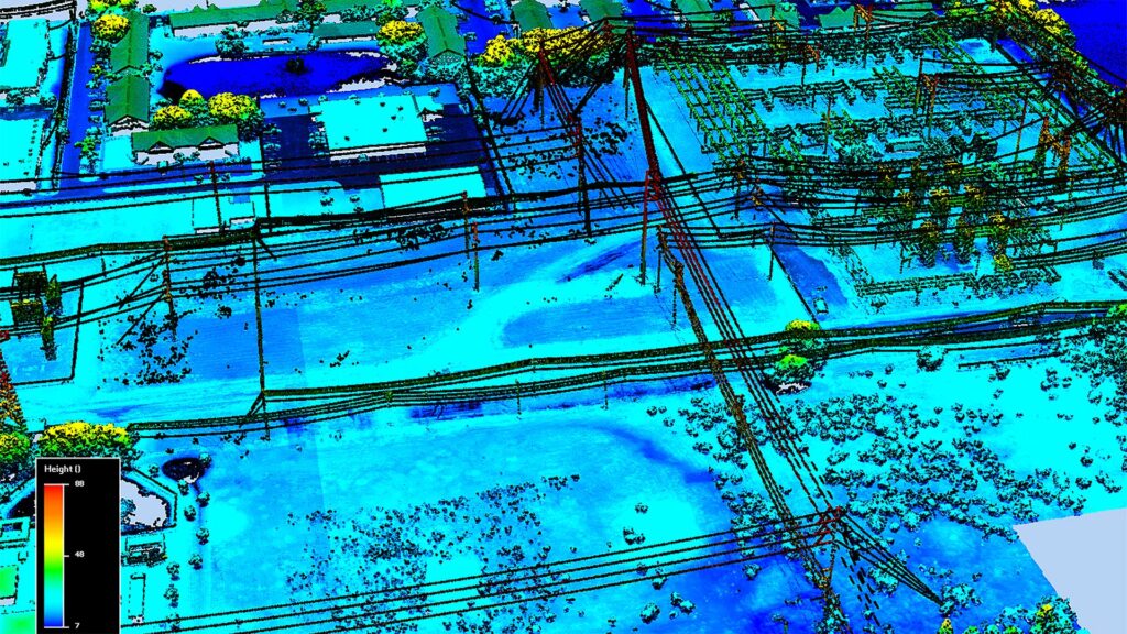
Our geospatial team of Pilots, LiDAR analysts, UAS Operators, and Photogrammetrists work together to map out the US and Caribbean. Our team uses the most advanced technology systems to analyze data in a way that showcases all considerable factors of a project.
Our team has the ability to merge land, hydrographic and airborne survey data. We gather information from virtually every angle. We think of our mapping team as pioneers. Charles Lindbergh – eat your heart out.