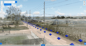
3D web mapping is a cutting-edge technology that enables the visualization, analysis, and interaction with spatial data in three dimensions over the web.
Unlike traditional 2D mapping, 3D web mapping provides a more immersive and realistic representation of geographic information, allowing users to explore terrains, buildings, and other structures with enhanced depth and detail. This technology leverages advanced geospatial data such as lidar, digital terrain models, digital surface models, and 3D models of buildings and infrastructure.
3D Web Mapping makes complex spatial information accessible and actionable.